- Startseite >
- Abfluss >
- Inn >
- Pegel Ruhstorf / Rott >
- Stammdaten
Stammdaten Ruhstorf / Rott
Betreiber:  Wasserwirtschaftsamt Deggendorf
Messstellen-Nr.: 18808004
Einzugsgebiet: 1.049,10 km2
Flusskilometer: 11,16 km
Pegelnullpunktshöhe: 314,15 m NHN (DHHN2016)
Gemeinde: Ruhstorf a.d.Rott
Landkreis: Passau
Ostwert: 820573 (ETRS89 / UTM Zone 32N)
Nordwert: 5372973
Foto der Messstelle
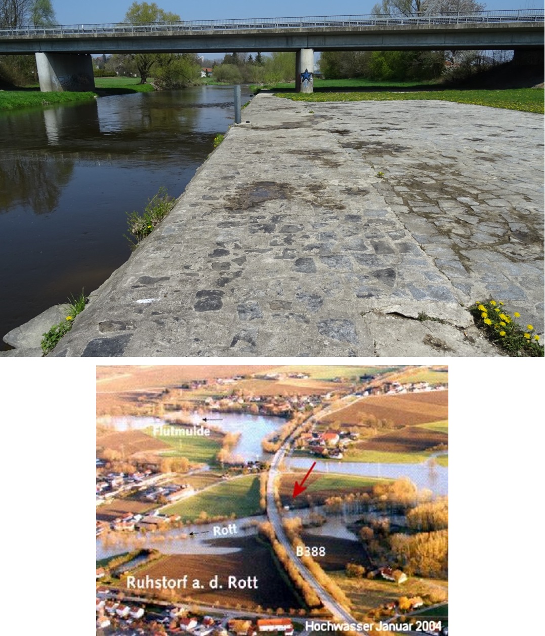
Lage der Messstelle Ruhstorf / Rott
© Bayerisches Landesamt für Umwelt 2026