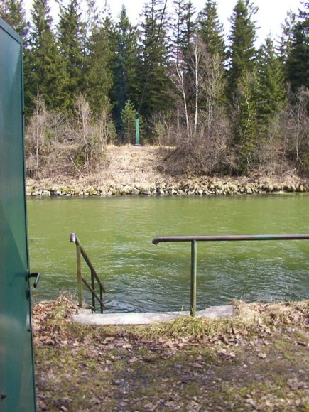

Stammdaten Puppling / Isar
Stammdaten
| Betreiber | |
| Messstellen-Nr. | 16004403 |
| Einzugsgebiet | 1.620,30 km2 |
| Flusskilometer | 178,10 km |
| Pegelnullpunktshöhe | 571,21 m NHN (DHHN2016) |
| Gemeinde | Pupplinger Au |
| Landkreis | Bad Tölz-Wolfratshausen |
| Ostwert | 682761 (ETRS89 / UTM Zone 32N) |
| Nordwert | 5309878 |
Foto